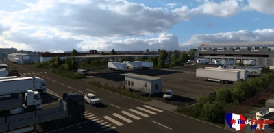
Changelogs v0.1.1
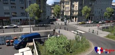
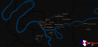
Added the city of Champigny-sur-Marne including a deliverable company and a Volvo dealership
Added the city of Fontenay-sous-Bois including 2 deliverable companies and a bus station
Extension to the north of the city of Villemomble including a company and 2 deliverable worksites
Reconstruction of the Raincy-Villemomble RER bus station
Reconstruction of old parts of the A4 motorway
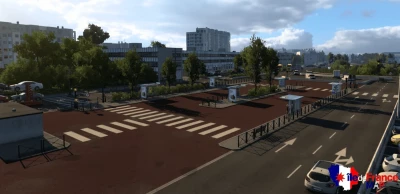
Reconstruction of the A4 - A86 interchange
Reconstruction of the A86 motorway from Champigny-sur-Marne to Fontenay-sous-Bois
New traffic signs (by Adyox) (5% of signs replaced)
Integration of more than 10 new AI vehicles (by Rayen)
Bug fix
Description:
Île-de-France map or Paris suburbs map is inspired by the Île-de-France region, located in France, in particular on the eastern suburbs of Paris. (Some parts of the West, North and South part and even of the Center of Paris may appear in the future, some areas of the center of Paris or other known places).
The map is standalone and the size is approximately 1:1, but some parts may not look like the real thing and have been modified from the real thing.
I mainly focus on the Eastern suburbs and my main objective is to realize all the cities of the departments of Seine-Saint-Denis (93), Val-de-Marne (94) and Seine-et-Marne (77).


