

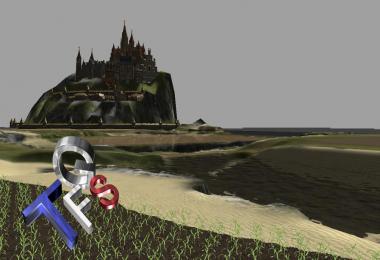

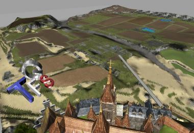
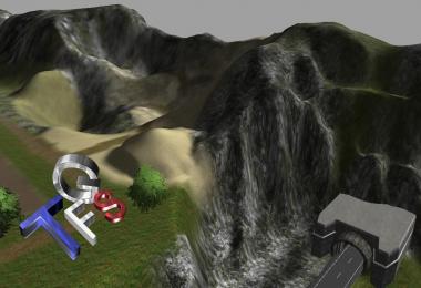
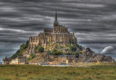
The bay of Mont Saint-Michel and the Mont-Saint-Michel1 is a bay located between Brittany (to the southwest) and the Norman Cotentin Peninsula (east) in the Gulf Normandy and Brittany, the Bay belongs to the club of the most beautiful bays in the world and is a World Heritage Site by UNESCO in 1979 the very large tidal range in the region (more than ten meters) allows much of the bay to be exposed at low tide .
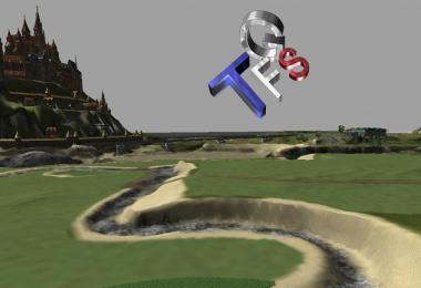
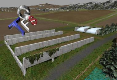
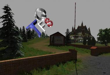
I present the map that recur landscape Norman.
............................................
La baie du mont Saint-Michel ou baie du Mont-Saint-Michel1 est une baie située entre la Bretagne (au sud-ouest) et la péninsule normande du Cotentin (à l'est) au fond du golfe normand-breton, la baie appartient au club des plus belles baies du monde et est inscrite au patrimoine mondial de l'UNESCO en 1979. Le marnage très important dans la région (plus de dix mètres) permet à une grande partie de cette baie d'être découverte à marée basse.
Je vous présente la map qui reproduit se paysage normand.
- 8 Likes
- 0 Comments
- 2705 Downloads
-
 2
Downloads in
2
Downloads in
-
 11 years ago


COMMENTS
There are no any comments
Write a comment