

1.0.0.1
– Fixed bug with fertilization
– more farms and trees can be placed
– Fixed some minor bugs
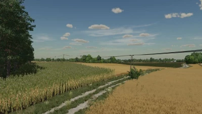
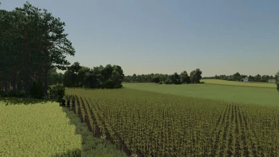
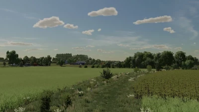
The map was created on the basis of the areas located near the Gostynińskie Lake District - a region that stretches between Gąbin, Gostynin and Włocławek, on the left (southern) bank of the Vistula. In the area there is a Landscape Park rich in beautiful lakes and forests. However, the areas of the nearby commune of Gostynin are intensively exploited for agriculture. The map was created on the basis of x4 with real terrain and grid from Google maps.
It has:
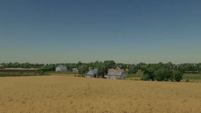
– 3 villages
– 250 farmlands
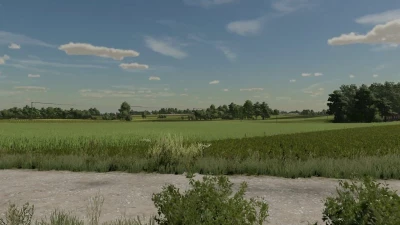
– 258 fields, including several dozen meadows
– several smaller forests
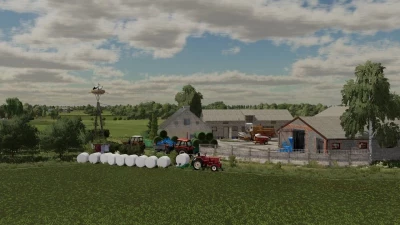
– 4 farms
– 13 purchases
– changed tree cardboards
– new terrain painting cardboard
- crop textures with added stubble compaction
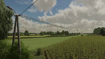
– multiterrain
- Traffic
– Polish sowing dates
– 3 types of Polish registrations (black, with a flag and current)
– Agrome, CPN and sawmill
– Point of sale for Lime and UAN
Have a nice game !


COMMENTS
after updating the game, the land on the map became transparent in the distance. please correct the author . the map is great!
Write a comment