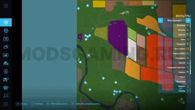
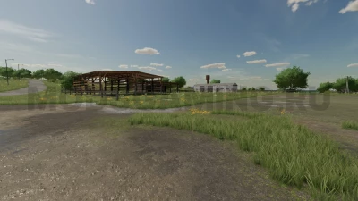
The map was made partially based on real terrain. The landscape, the location of the farm and the village are made approximately similar. Due to the scale of the map, the terrain (villages and hamlets) naturally differs from the real one. But if possible it is made a little similar. Features: - 62 plots of land to be purchased, incl. 24 fields. From 4.85 hectares to 80+ hectares (calculation was carried out using approximate measurements); - Standard crops + carrots, hops, lavender, onions, rye, alfalfa, clover; - ZAV for grain cleaning; - The livestock cluster includes a pig farm, a cowshed, and a silo; - There are mines with coal, iron ore, lithium ore, a quarry with sand and gravel for those who like to work with loaders and excavators; - There are various industries on the map. This is a sugar factory, a mill, a dairy plant, an oil extraction plant, a bakery, a manure purchase, steel production, lithium production, iron production, electric furnace production, an asphalt plant for those who like to roll roads; - Point of sale "export (customs)", where the cost of goods is 2 times higher than other points of sale; - Village, farm and production with lighting and sounds; - Automobile and pedestrian traffic; - Approximately half of the objects present on the map are taken from the public domain, the other half are our own models. Unpack the archive!

- 3 Likes
- 0 Comments
- 156 Downloads
-
1 Downloads in
-
10 months ago


COMMENTS
There are no any comments
Write a comment