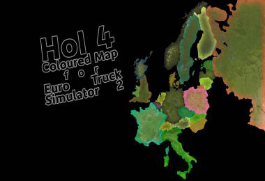
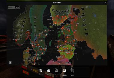
This mod was inspired by Simple Colored Maps for ATS and Satellite Image Map for ATS, and ended up resembling the HoI4 (Hearts of Iron) map.
Featuring:
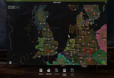
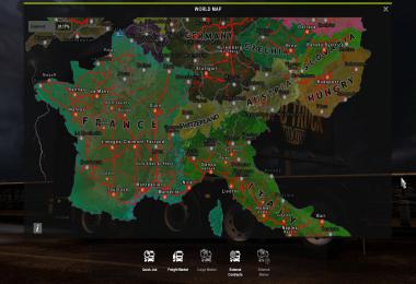
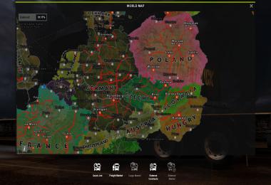
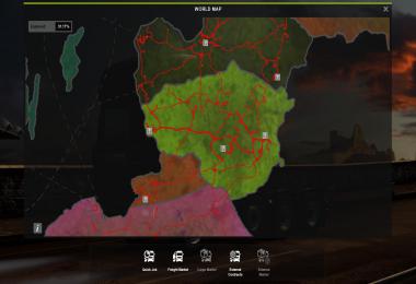
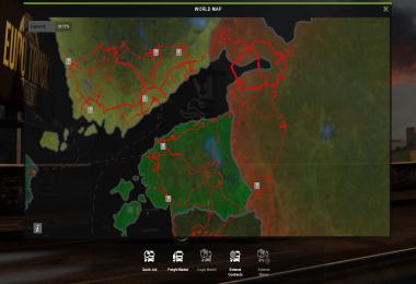
- Coloured Countries
- Satellite View
- Higher Resolution Map Image
- State Names when zoomed out (Little Bit Obscured By Roads and Cities)
- Added benefit knowing which Country you are in from the map, for those who aren't knowledgable of Geography.





COMMENTS
https://sharemods.com/iu4pog2ksj9i/hol4.scs.html
Where's Ireland? Are we not part of Europe?
Write a comment